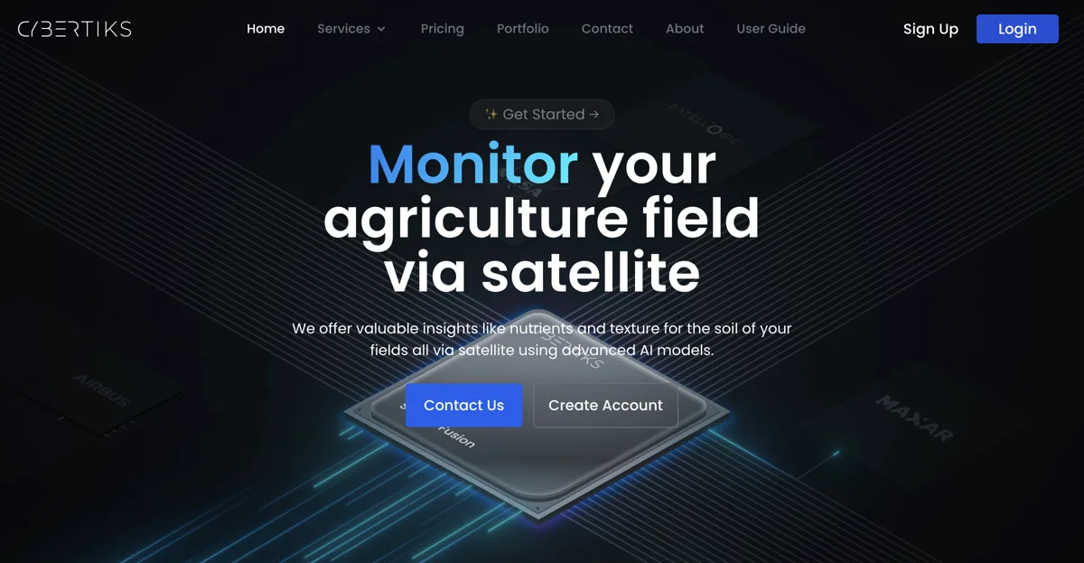
Cybertiks is a cutting-edge platform that leverages the power of satellite imagery and advanced AI models to provide valuable insights and solutions for various industries. Their expertise in remote sensing allows them to meet the pressing needs of businesses worldwide. With Cybertiks, users can analyze fields remotely, obtain essential metrics, and monitor field status. The AI models are highly accurate, offering over 80% precision. Users can enter field coordinates, view historical insights, and visualize results on a map with a resolution of up to 100m2. Additionally, Cybertiks offers features such as data synchronization, integration of various data types, and presentation of data in a convenient manner. The platform also utilizes thermodynamic information for resource classification and quantification. They have a multidisciplinary team with years of experience in software development and various domains, making them a reliable choice for innovation. Whether it's in agriculture, or other industries, Cybertiks has the potential to transform the way businesses operate and make informed decisions.

Cybertiks
Cybertiks offers advanced AI-powered solutions via satellite imagery for diverse industries. Analyze fields, monitor status, and more.

Top Alternatives to Cybertiks
CYCLOPS
CYCLOPS is an AI-powered ecosystem monitoring platform that offers comprehensive solutions.
Bluewhite
Bluewhite equips farms with autonomous tech for growth
Völur
Völur is an AI-powered tool for optimizing meat industry decisions
Sorted
Sorted is an AI-powered recycling solution that boosts efficiency
Natural Capital Exchange (NCX)
NCX helps landowners find income streams from their land
WattTime
WattTime helps save CO2 with solutions and assistance
Greenbids
Greenbids leverages AI to enhance digital advertising efficiency while significantly reducing carbon emissions.
accessiBe
accessiBe is an AI-powered web accessibility solution that helps businesses comply with ADA and WCAG standards.
Clarity AI
Clarity AI is an AI-powered sustainability platform that helps users invest, shop, and report sustainably with easy-to-use technology.
ESG Analytics
ESG Analytics leverages AI to provide real-time ESG scores and ratings for companies globally, including GHG emission data.
ARC AI
ARC AI offers secure, sustainable AI solutions with personalized experiences and state-of-the-art encryption.
Maintain
Maintain-AI is an AI-powered automated road survey solution that helps optimise road maintenance budgets and improve decision-making.
Treads
Treads is an AI-powered car management subscription that simplifies vehicle maintenance and enhances road safety.
MindBound Labs
MindBound Labs leverages community power to accelerate ASI, offering diverse AI prompts for art, music, and more.
SINAI
SINAI is an AI-powered decarbonization platform that helps enterprises measure, analyze, and reduce carbon emissions efficiently.
Drawerrr
Drawerrr is an AI-powered platform that unites professionals to develop sustainable solutions for companies and governments.
Frondly
Frondly is an AI-powered plant identification app that helps users identify plants, get care advice, and connect with a community of plant enthusiasts.
Ecolink AI
Ecolink AI is a leading sustainability network that verifies brands, connects communities, and drives climate action through commerce.
Dantia
Dantia is an AI-powered investment platform focused on climate change solutions, connecting founders with capital and resources.
Canvass AI
Canvass AI offers Industrial AI solutions that enhance operational efficiency, profitability, and sustainability for industrial workforces.
Credibl ESG
Credibl ESG is an AI-powered platform that simplifies ESG data management and reporting for corporations and investors.