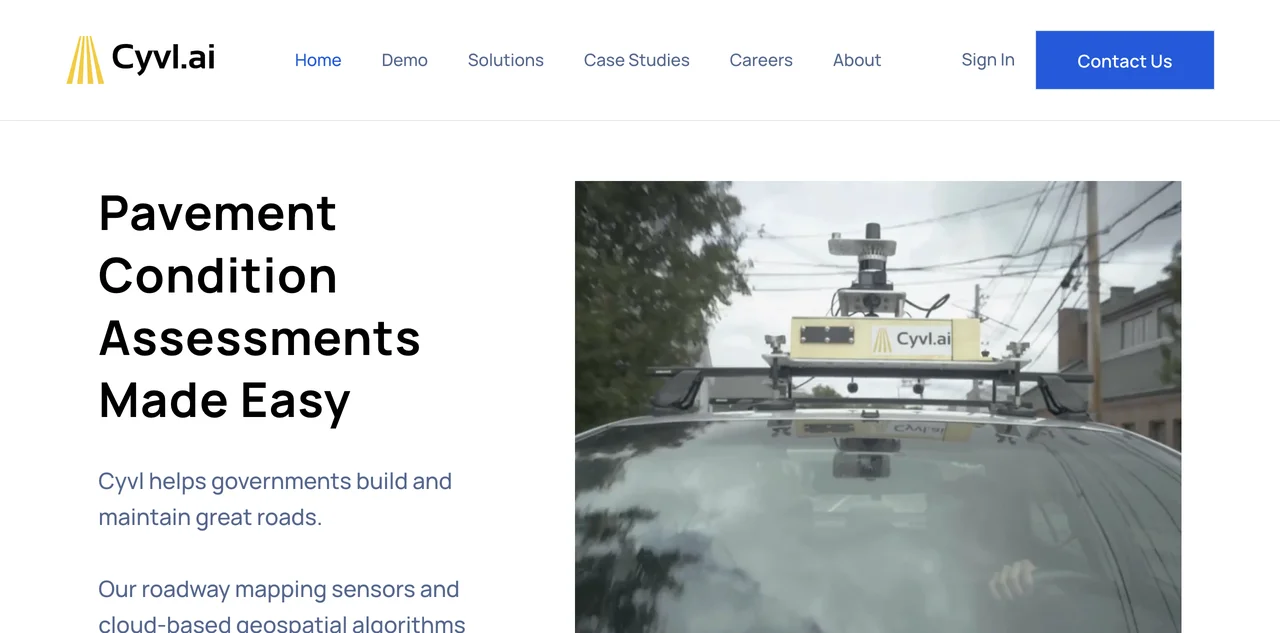
Cyvl.ai is a revolutionary AI-powered mapping solution that is transforming the way governments manage and maintain their roadways. With its roadway mapping sensors and cloud-based geospatial algorithms, Cyvl.ai enables communities to make the most of their roadway and transportation budgets. The sensors can be easily installed on vehicles and used to collect high-quality data. This data is then processed using the company's proprietary AI algorithms, which generate a wide range of deliverables, including pavement condition assessments, sign inventories, and streetview imagery. The platform also offers quick and actionable reports, allowing users to export data seamlessly into popular software. Trusted by leading engineering firms, Cyvl.ai is helping to build a better world through efficient infrastructure management.

Cyvl.ai
Cyvl.ai offers advanced mapping and analysis for infrastructure. Maximize budgets and improve efficiency. Start now!

Top Alternatives to Cyvl.ai
CYCLOPS
CYCLOPS is an AI-powered ecosystem monitoring platform that offers comprehensive solutions.
Bluewhite
Bluewhite equips farms with autonomous tech for growth
Völur
Völur is an AI-powered tool for optimizing meat industry decisions
Sorted
Sorted is an AI-powered recycling solution that boosts efficiency
Natural Capital Exchange (NCX)
NCX helps landowners find income streams from their land
WattTime
WattTime helps save CO2 with solutions and assistance
Greenbids
Greenbids leverages AI to enhance digital advertising efficiency while significantly reducing carbon emissions.
accessiBe
accessiBe is an AI-powered web accessibility solution that helps businesses comply with ADA and WCAG standards.
Clarity AI
Clarity AI is an AI-powered sustainability platform that helps users invest, shop, and report sustainably with easy-to-use technology.
ESG Analytics
ESG Analytics leverages AI to provide real-time ESG scores and ratings for companies globally, including GHG emission data.
ARC AI
ARC AI offers secure, sustainable AI solutions with personalized experiences and state-of-the-art encryption.
Maintain
Maintain-AI is an AI-powered automated road survey solution that helps optimise road maintenance budgets and improve decision-making.
Treads
Treads is an AI-powered car management subscription that simplifies vehicle maintenance and enhances road safety.
MindBound Labs
MindBound Labs leverages community power to accelerate ASI, offering diverse AI prompts for art, music, and more.
SINAI
SINAI is an AI-powered decarbonization platform that helps enterprises measure, analyze, and reduce carbon emissions efficiently.
Drawerrr
Drawerrr is an AI-powered platform that unites professionals to develop sustainable solutions for companies and governments.
Frondly
Frondly is an AI-powered plant identification app that helps users identify plants, get care advice, and connect with a community of plant enthusiasts.
Ecolink AI
Ecolink AI is a leading sustainability network that verifies brands, connects communities, and drives climate action through commerce.
Dantia
Dantia is an AI-powered investment platform focused on climate change solutions, connecting founders with capital and resources.
Canvass AI
Canvass AI offers Industrial AI solutions that enhance operational efficiency, profitability, and sustainability for industrial workforces.
Credibl ESG
Credibl ESG is an AI-powered platform that simplifies ESG data management and reporting for corporations and investors.