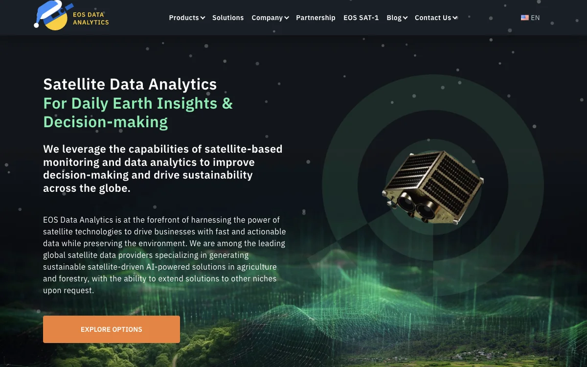
EOS Data Analytics stands at the forefront of satellite technology, offering innovative solutions that harness the power of satellite data for actionable insights. Specializing in agriculture and forestry, EOSDA provides sustainable, satellite-driven, AI-powered solutions that not only drive business profits but also contribute to environmental preservation. Their comprehensive digital platforms, such as EOSDA Crop Monitoring and EOSDA LandViewer, streamline informed decision-making by assembling crucial satellite imagery and data from multiple sources. These platforms enable users to track crop health, manage vast croplands remotely, access weather forecasts, and plan field activities efficiently. EOSDA's commitment to sustainability is evident in their environmentally friendly analytics solutions, designed to meet the planet's needs while ensuring profitability. With a team of in-house experts, including PhDs with 30 years of experience, EOSDA ensures their products and solutions truly meet the needs of their clients. Their advanced spatial data sources combine satellite imagery, historical parameters, and custom indices to provide comprehensive satellite analytics. EOSDA's innovative approach extends to custom solutions for agricultural challenges, leveraging satellite imagery and trained neural networks to perform resource-consuming tasks in minutes. From crop classification to yield prediction and soil moisture analytics, EOSDA's state-of-the-art solutions are trusted globally. Their dedication to harnessing the power of satellite technologies for sustainable business practices makes EOS Data Analytics a leader in the field of satellite data analytics.

EOS Data Analytics
Discover how EOS Data Analytics uses satellite-based monitoring and AI-powered solutions to enhance decision-making and promote sustainability globally.

Top Alternatives to EOS Data Analytics
CYCLOPS
CYCLOPS is an AI-powered ecosystem monitoring platform that offers comprehensive solutions.
Bluewhite
Bluewhite equips farms with autonomous tech for growth
Völur
Völur is an AI-powered tool for optimizing meat industry decisions
Sorted
Sorted is an AI-powered recycling solution that boosts efficiency
Natural Capital Exchange (NCX)
NCX helps landowners find income streams from their land
WattTime
WattTime helps save CO2 with solutions and assistance
Greenbids
Greenbids leverages AI to enhance digital advertising efficiency while significantly reducing carbon emissions.
accessiBe
accessiBe is an AI-powered web accessibility solution that helps businesses comply with ADA and WCAG standards.
Clarity AI
Clarity AI is an AI-powered sustainability platform that helps users invest, shop, and report sustainably with easy-to-use technology.
ESG Analytics
ESG Analytics leverages AI to provide real-time ESG scores and ratings for companies globally, including GHG emission data.
ARC AI
ARC AI offers secure, sustainable AI solutions with personalized experiences and state-of-the-art encryption.
Maintain
Maintain-AI is an AI-powered automated road survey solution that helps optimise road maintenance budgets and improve decision-making.
Treads
Treads is an AI-powered car management subscription that simplifies vehicle maintenance and enhances road safety.
MindBound Labs
MindBound Labs leverages community power to accelerate ASI, offering diverse AI prompts for art, music, and more.
SINAI
SINAI is an AI-powered decarbonization platform that helps enterprises measure, analyze, and reduce carbon emissions efficiently.
Drawerrr
Drawerrr is an AI-powered platform that unites professionals to develop sustainable solutions for companies and governments.
Frondly
Frondly is an AI-powered plant identification app that helps users identify plants, get care advice, and connect with a community of plant enthusiasts.
Ecolink AI
Ecolink AI is a leading sustainability network that verifies brands, connects communities, and drives climate action through commerce.
Dantia
Dantia is an AI-powered investment platform focused on climate change solutions, connecting founders with capital and resources.
Canvass AI
Canvass AI offers Industrial AI solutions that enhance operational efficiency, profitability, and sustainability for industrial workforces.
Credibl ESG
Credibl ESG is an AI-powered platform that simplifies ESG data management and reporting for corporations and investors.