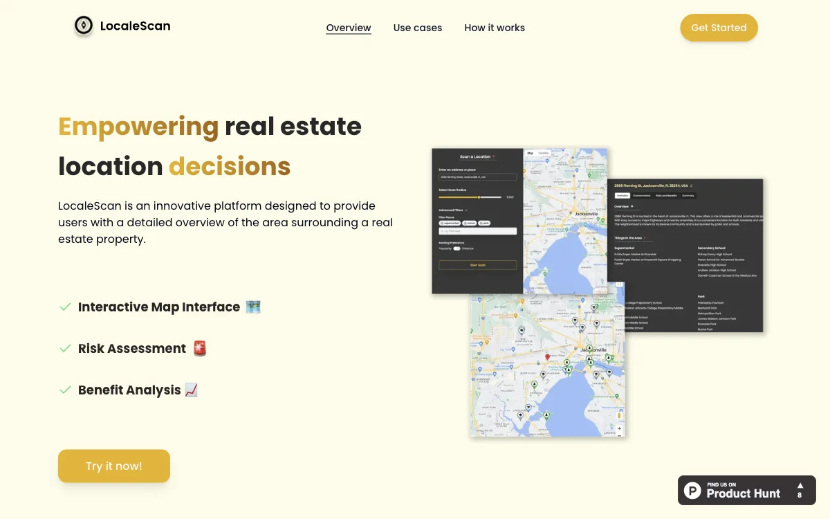
LocaleScan revolutionizes the way real estate decisions are made by leveraging cutting-edge AI technology to provide comprehensive analyses of property surroundings. This innovative platform offers an interactive map interface, allowing users to explore various layers of information about a property's vicinity with ease. Customizable markers represent different types of places, such as schools and hospitals, enhancing the user experience.
Risk assessment is a core feature of LocaleScan, offering up-to-date statistics on crime rates, environmental hazards, and economic stability. This information is crucial for evaluating the safety and viability of a location. Additionally, the platform's benefit analysis highlights local amenities, educational institutions, and childcare options, providing a holistic view of the area's lifestyle and convenience.
LocaleScan is designed for a wide range of users, including home buyers, renters, real estate investors, agents, and urban planners. It empowers them to make data-driven decisions by understanding the potential and challenges of different locations. The process is straightforward: specify a location, define a scan radius, and receive detailed insights.
By integrating AI into real estate analysis, LocaleScan offers a unique tool that combines detailed data with user-friendly features, making it an indispensable resource for anyone involved in property decisions.

