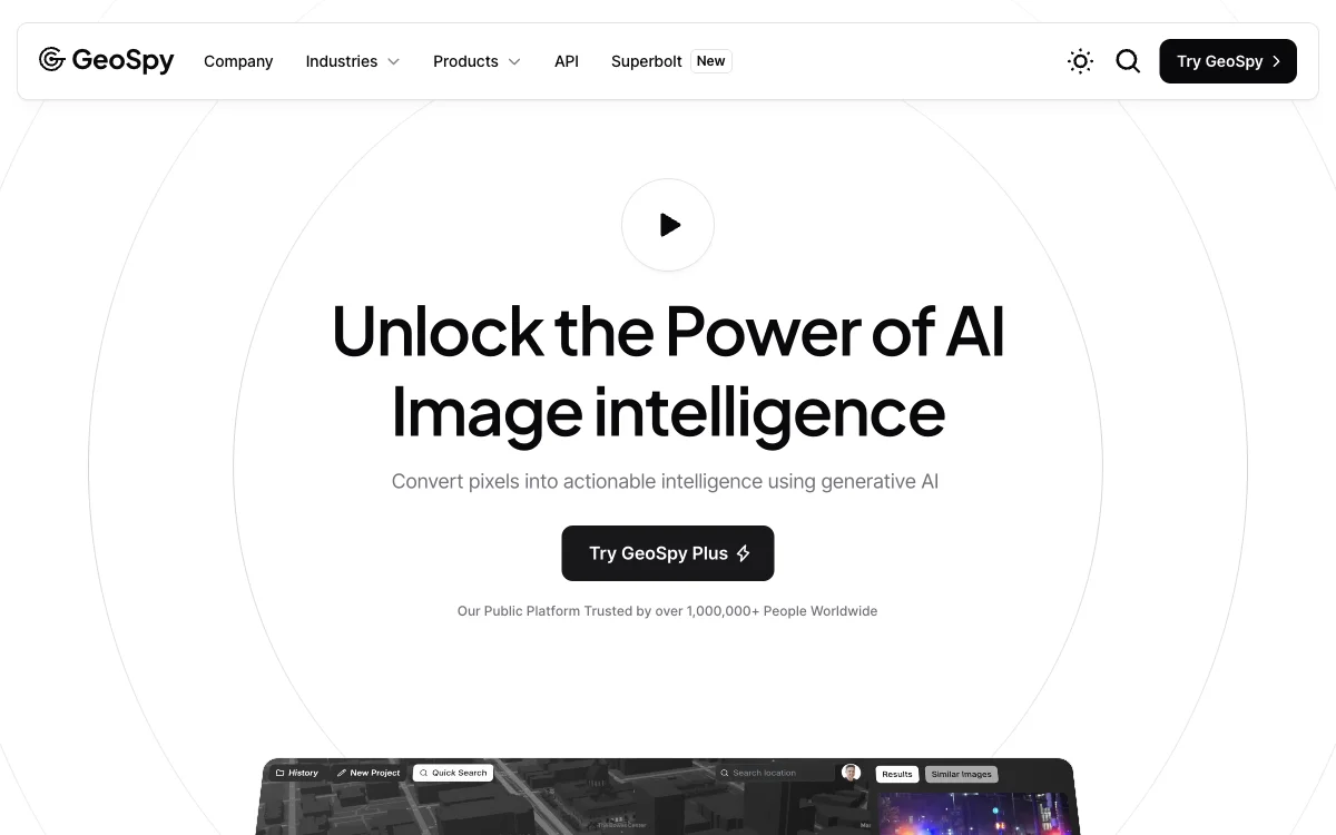
GeoSpy leverages cutting-edge AI technology to convert image pixels into actionable location intelligence. This platform is designed for government, law enforcement, and enterprise users, offering meter-level accuracy through state-of-the-art computer vision models. GeoSpy's capabilities enable the transformation of billions of untapped image data points into valuable insights for decision-making processes.
With its easy-to-use interface, GeoSpy Pro integrates powerful AI location models tailored for specific cities or countries, making it an essential tool for intelligence gathering and understanding. The platform supports on-premise solutions, allowing deployment in air-gapped networks for enhanced security. GeoSpy's global team ensures support and deployment capabilities in most countries, catering to a wide range of operational needs.
GeoSpy's commitment to staying ahead of the latest breakthroughs in AI research positions it as a leader in the development and integration of advanced AI models. By partnering with GeoSpy, organizations can harness the power of next-generation computer vision technologies to unlock the full potential of geo-intelligence. Whether for government missions or enterprise strategies, GeoSpy transforms data into actionable intelligence, fast and at scale.

